Trying to figure out how much you can actually build on a Brooklyn lot? You are not alone. FAR in NYC looks simple on paper, but contextual bulk rules, overlays, and practical design limits often change the answer. In this guide, you will learn what FAR means in Brooklyn, how to run a quick feasibility screen, and how FAR connects to pricing and deal structure. Let’s dive in.
What FAR means in NYC
FAR, or Floor Area Ratio, sets the maximum permitted gross floor area relative to lot size. The quick formula is Buildable GFA = FAR × Lot Area. It gives you a fast upper bound, which you then test against real-world constraints.
Not all space counts the same. Most occupiable floor area counts toward FAR, but some mechanical areas or qualifying cellars can be excluded if they meet strict definitions. The exact rules live in the Zoning Resolution, so confirm details for your site in the City Planning Zoning Resolution.
What counts vs. what may not
- Counted: residential floor plates, retail, office, and most enclosed occupiable area.
- Often excluded with conditions: certain mechanical spaces within limits and cellars that meet the zoning definition. These are nuanced and should be verified against the Zoning Resolution and with your architect.
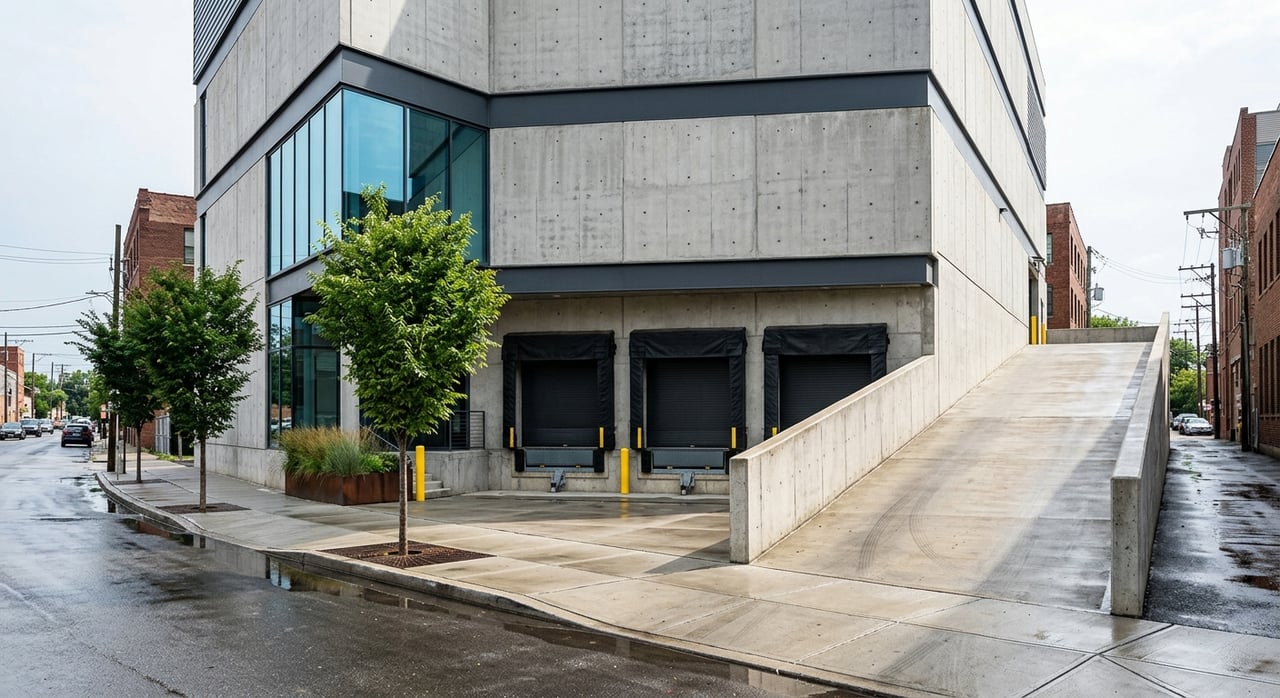
FAR is only a starting point
Even if FAR suggests a big number, envelope controls can limit the actual massing. Contextual districts use streetwall rules, lot coverage, yards, and sky exposure planes that can reduce what fits. Treat the FAR product as your ceiling, not a guarantee.
Brooklyn zoning patterns
Brooklyn mixes low-rise rowhouse blocks, contextual mid-density avenues, and higher-density cores. You will commonly see contextual districts like R6A, R6B, R7A, and R7B that are designed to maintain scale on neighborhood streets. These districts often cap height and shape through streetwall and sky exposure rules, not just FAR.
Commercial corridors and Downtown Brooklyn support higher density and mixed use. Commercial overlays mapped on residential districts can allow retail, which changes how FAR applies to commercial versus residential use.
Overlays and special districts
Mapped overlays and special districts can modify base rules. Always check parcel-level data on ZoLa before you price a site. The DCP ZoLa map will show zoning districts, overlays, landmark status, and special area rules.
Air rights and lot mergers
Zoning rights live with the zoning lot. You can often consolidate FAR by merging adjacent tax lots into a single zoning lot. Transfers beyond a single zoning lot are limited to specific programs, such as landmark transfers or special district TDR rules. In practice, small developers most often use lot aggregation rather than third-party air rights purchases.
Quick feasibility workflow
Use this fast screen before spending serious time and money:
- Look up the zoning district and overlays on the DCP ZoLa map.
- Confirm lot area from DCP’s MapPLUTO dataset or a survey.
- Compute the theoretical GFA using FAR × Lot Area. Example: 2,000 square feet × FAR 3.0 equals 6,000 square feet theoretical GFA.
- Flag overlays, special districts, historic district or landmark status, and mapped height limits in ZoLa.
- Check existing built area and permit history in the DOB Buildings Information System to see if unused development rights exist.
- Confirm if the parcel is part of a larger zoning lot or can be merged to consolidate FAR.
- Do a basic envelope test. Contextual bulk, setbacks, yards, and parking can shrink what fits. Engage an architect early for a quick massing study.
- Identify possible bonuses or exemptions. Inclusionary housing may increase FAR in eligible areas. See HPD’s Inclusionary Housing Program for program rules.
- Surface site constraints such as easements, encroachments, subgrade conditions, curb cuts, occupancy, and any Landmarks rules via the Landmarks Preservation Commission.
- Translate area into dollars. Use construction and soft cost per square foot to build a simple pro forma and back into land value.
How FAR shapes pricing
FAR defines the maximum sellable or rentable area, which drives value. Developers often price land on a price per developable square foot basis, using achievable GFA after realistic reductions.
Cost per buildable square foot
If your effective GFA is lower than the FAR product because of contextual limits, your cost per unit or per sellable square foot rises. That forces a lower land price to keep your returns on target. Taller structures and more complex envelopes can also increase per square foot construction costs.
Example that shows leverage
- Lot size: 2,000 square feet, base FAR 3.0, theoretical GFA 6,000 square feet.
- If the envelope only supports 80 percent of that, effective GFA is 4,800 square feet.
- At $400 per square foot all-in, build cost is about $1.92 million, plus financing and profit. Your maximum land price must line up with expected revenue and target returns.
Unit mix and demand
Higher FAR can push more units, but the best mix depends on neighborhood demand and building systems. Packing units tightly may trigger parking or egress thresholds or add complexity that erodes returns. Align unit mix with local absorption.
Common pitfalls
- Treating FAR as buildable. Ignore envelope and you overpay. Always test height, setbacks, lot coverage, and parking.
- Missing overlays or historic status. Special districts and landmark rules can change massing and materials, and they add approvals.
- Miscounting cellars or mechanicals. Exclusions are conditional and technical. Verify definitions before you commit to a design or price.
Tools and resources
Start every screen with official sources so you are working off current rules.
- Explore zoning, overlays, and special districts on the DCP ZoLa map.
- Pull lot size and attributes from the MapPLUTO dataset.
- Review permits and building data in the DOB Buildings Information System.
- Confirm historic status and guidelines with the Landmarks Preservation Commission.
- Study program rules and bonus potential in HPD’s Inclusionary Housing Program.
- For broad policy and market context, see the NYU Furman Center.
If you want a second set of eyes on feasibility, capital structure, and execution, partner with a team that can model the envelope, structure the deal, and carry it through construction and lease-up. Reach out to Tide Realty Group to pressure-test your plan and source the right site.
FAQs
How do I find FAR for a Brooklyn lot?
- Use the DCP ZoLa map to see the zoning district and overlays, then confirm lot area in MapPLUTO and compute FAR × lot area.
What limits a building even if FAR is high?
- Contextual bulk rules, streetwall and sky exposure planes, required yards, lot coverage caps, parking triggers, and height limits can shrink the buildable envelope.
Can I buy air rights from a neighbor in Brooklyn?
- Transfers are generally limited to a single zoning lot unless specific TDR or landmark programs apply. Lot mergers are the common path for small developers.
Do cellars and mechanical rooms always get excluded from FAR?
- No. Exclusions are conditional and defined in the Zoning Resolution. Have an architect confirm what qualifies on your specific design.
How does FAR impact land pricing in Kings County?
- Sellers and buyers price land by achievable GFA. Lower effective GFA increases cost per unit, which reduces the land price a developer can pay.
Where do I check permits and existing built FAR?
- Use the DOB Buildings Information System for permit history and building data, and compare to MapPLUTO and a current survey.